Coast Guard Sector Southeastern New England sets Port condition X-RAY for Tropical Storm Henri
by U.S. Coast Guard 1st District Northeast 20 Aug 2021 21:15 PDT

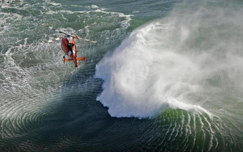
US Coast Guard in action © Sam Greenfield / Volvo Ocean Rac
The Captain of the Port for Southeastern New England has established port readiness condition X-RAY effective at 8 p.m., Thursday.
The ports of Southeastern New England are currently open to all commercial traffic and all transfer operations may continue while X-RAY remains in effect. Winds between 39 and 54 mph from a hurricane-force storm are possible within 48 hours.
All oceangoing commercial vessels and oceangoing barges greater than 500 gross tons should immediately advise the Captain of the Port of their intention to remain in port or to depart. Vessels desiring to remain in port must immediately contact the Captain of the Port at (508) 457-3211 to receive permission to do so. Vessels bound for Narragansett, Mount Hope, Buzzards Bay, and Cape Cod Bay that are unable to depart 24 hours prior to gale force winds making landfall are advised to seek an alternate destination.
Pleasure craft are advised to seek safe harbor. Drawbridges may not be operating during periods of high winds, or when an evacuation is in progress.
Port facilities are advised to review their heavy weather plan and take all necessary precautions to adequately prepare for the expected conditions.
The Coast Guard is warning the public of these important safety messages:
- Stay off the water. The Coast Guard's search and rescue capabilities degrade as storm conditions strengthen. This means help could be delayed. That is why boaters should heed to weather watches, warnings and small craft advisories.
- Evacuate as necessary. If mandatory evacuations are set for an area, the public should evacuate without delay. Coast Guard personnel and other emergency responders may not be able to evacuate those in danger during the storm.
- Secure belongings. Owners of large boats are urged to move their vessels to inland marinas where they will be less vulnerable to breaking free of their moorings or damage. Trailerable boats should be pulled from the water and stored in a place that is not prone to flooding. Those who are leaving their boats in the water are reminded to secure life rings, lifejackets and small boats. These items, if not secured properly, can break free and require valuable search and rescue resources be diverted to ensure they are not actually people in distress.
- Stay clear of beaches. Wave heights and currents typically increase before a storm makes landfall. Even the best swimmers can fall victim to the strong waves and rip currents caused by Henri. Swimmers should stay clear of beaches until local lifeguards and law enforcement officials say the water is safe.
- Be prepared. Area residents should prepared by developing a family plan, creating a disaster supply kit, having a place to go, securing their home and having a plan for pets. Information can be found at the National Hurricane Center's webpage.
- Stay informed. The public should monitor the progress and strength of Henri through local television, radio and internet. Boaters can monitor its progress on VHF radio channel 16. Information can also be obtained on small craft advisories and warnings on VHF radio channel 16.
For information on the progress of Henri and hurricane preparedness, please visit the National Hurricane Center's web page at the following link - www.nhc.noaa.gov.
Coast Guard urges preparedness for Tropical Storm Henri
The Coast Guard urges all mariners to prepare for Tropical Storm Henri before its predicted Sunday landfall.
The National Oceanic and Atmospheric Administration predicts Henri to have wind speeds equal to or exceeding 39 mph.
The Coast Guard is reminding the public of these important safety messages:
- Stay off the water. Hurricanes and tropical storms can be deadly and our ability to conduct rescues can be diminished or non-existent at the height of a storm. Be prepared, stay informed and heed storm warnings.
- Be prepared. Owners of large boats are urged to move their vessels to inland marinas where they will be less vulnerable to breaking free of their moorings or to sustaining damage. Mooring lines should be doubled in case of high winds. Boats that can be trailered should be pulled from the water and stored in a place that is not prone to flooding. Those who are leaving their boats in the water are reminded to remove EPIRBs and to secure life rings, life jackets, and small boats. These items, if not properly secured, can break free and require valuable search and rescue resources to be diverted and may put first responders in harm's way to ensure people are not in distress.
- Evacuate as necessary. If mandatory evacuations are set for an area, the public should evacuate without delay. Coast Guard personnel and other emergency responders may not be able rescue those in danger during the storm.
- Stay informed. The public should monitor the progress and strength of the storm through local television, radio, and the Internet. Boaters can monitor its progress on VHF radio channel 16. Information can also be obtained on small craft advisories and warnings on VHF radio channel 16.
- Lookout for rip currents. As the storm approaches, rip currents will become more prevalent. Rip currents typically reach speeds of 1 to 2 feet per second-this makes rip currents especially dangerous to beachgoers as these currents can sweep even the strongest swimmer out to sea. Because rip currents move perpendicular to shore and can be very strong, beach swimmers need to be careful.
For more information on hurricane preparedness visit Ready.Gov and NOAA websites, as well as following them on Twitter.
Port conditions change based on weather forecasts, and current port conditions can be viewed on the following Coast Guard homeport webpage: